
Mount Batten – Noss Mayo
Welcome to Devon!
Hacking up a lung, I crawled out of bed late morning and readied myself for the walk to Noss Mayo. This late in the year, the ferry from Wembury to Noss Mayo doesn’t run, so I’d have to catch buses around the river. Aside from the annoyance factor of walking to a bus timetable, it would also turn a five minute boat ride into a two hour bus ride. Not something I look forward to, but at least it was possible to get to the other side – small mercies.
From near the Mayflower Steps (fenced off for repairs) in Plymouth’s Barbican, I took the ferry to Mount Batten,…

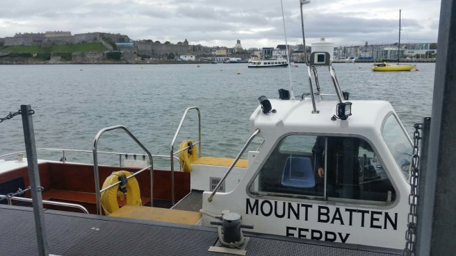
…saving me about 8 km of city walking. This is an established variation of the swcp, and I felt no compunction in taking the gift.
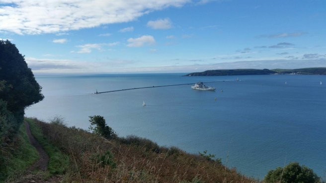
Trundling around past Mount Batten Point, and climbing up to the ruined tower afforded fabulous views of The Sound and back over Plymouth city. The promise of sunshine inspired a surge of energy and I powered along the high path to Rum Bay and Jennycliff Bay where lots of people were out walking their dogs.
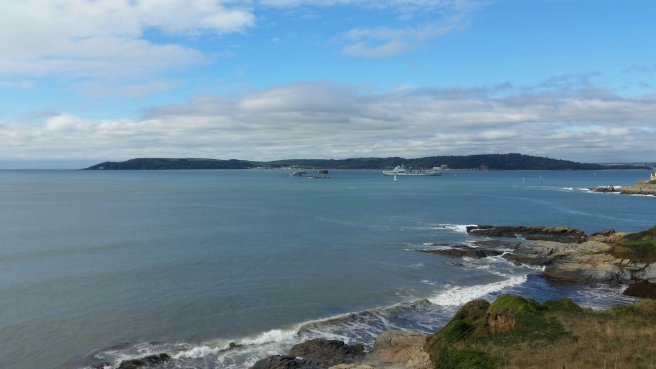
Being a long-time Navy city, Plymouth boasts lots of shoreline and clifftop defences. This makes for an interesting, if not terribly pretty, landscape. It would seem that I didn’t take many pics (I blame the flu-fog), so you’ll have to take my word for it.
It was cool to see the outer breakwater from the side. Perspective being a deceptive beast, from most angles this structure looks like a straight breakwater, but from the side it’s revealed to be a half-hexagon deflector shape. See?
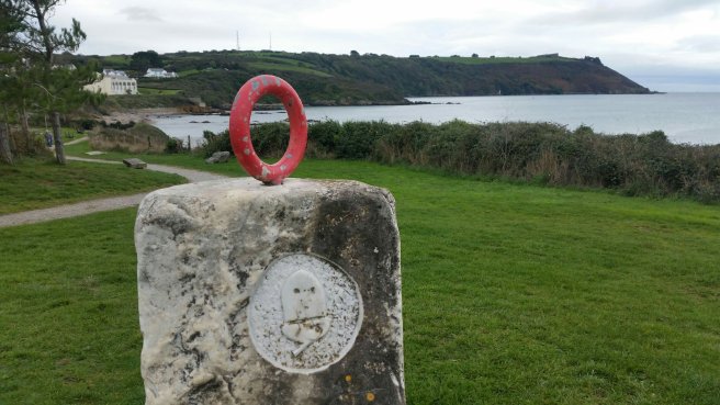
Further along came a bunch of sleepy holday/caravan resorts, mostly shut down for the season. The only real point of interest was the approaching Great Mew Stone, lurching up from the sea like an enormous hunk of cheese.
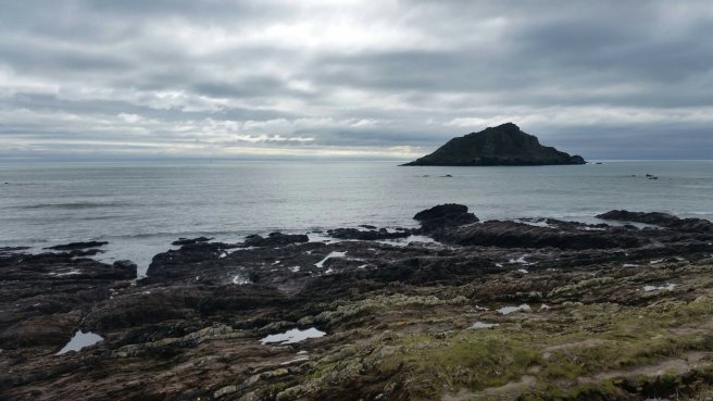
The rocks in the foreground are part of the Wembury Marine Conservation Area, which stretched all the way to the unassuming coastal entrance to Wembury village.

The stone buildings you can see at the shore are all National Trust properties where I stopped for a breather and advice.
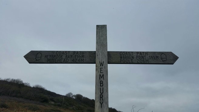
I still had a couple km to walk to the ferry crossing at Warren Point if I was going to press the purist point of the path, but it meant backtracking to Wembury to catch the bus. The lovely lady at the NT carpark gave me some great tips on alternate return paths so I wouldn’t have to retrace my steps.
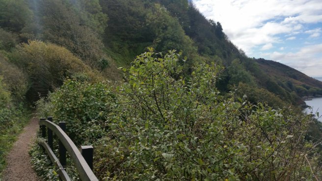
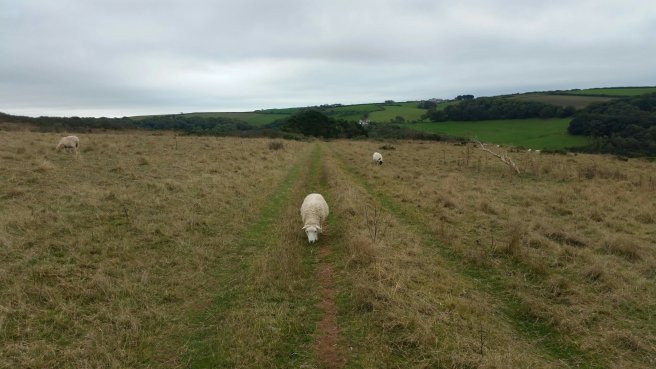
Eventually, when I could find no more reason to procrastinate, I climbed up the hill, past the church, and along the appropriately named High Cliffs. Company was easy to come by, but they weren’t terribly conversant…
…till I reached the lookout across the Yealm River.
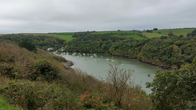
So frustrating to see the other side so close and have to turn my back on it.
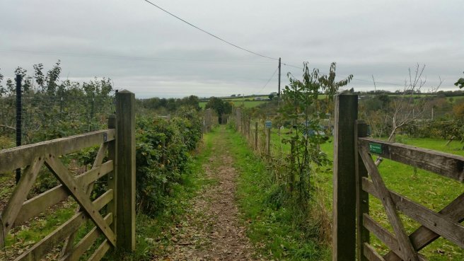
A few tasty morsels buoyed my spirits on the cross-country path to the top of Wembury village, such as this fabulous old wall…

…and this cute community allotment garden.
I won’t bore you with the details of the bus ride around the head of the Yealm River, but suffice to say it involved waiting, more waiting, rain, two very unhelpful drivers, roadworks at the tail end of the trip that meant I’d have to walk the last 2 km to Noss Mayo in gathering darkness, and a flutter of feathers (can I coin that as a collective noun?) at my final destination.
Feel free to read between the lines when I say this was not the best day on the swcp.
Ah, sleep, zzzzzzzz.
Stats: 27493 steps; 125 floors; 19.08 km
