
Perranporth to Portreath
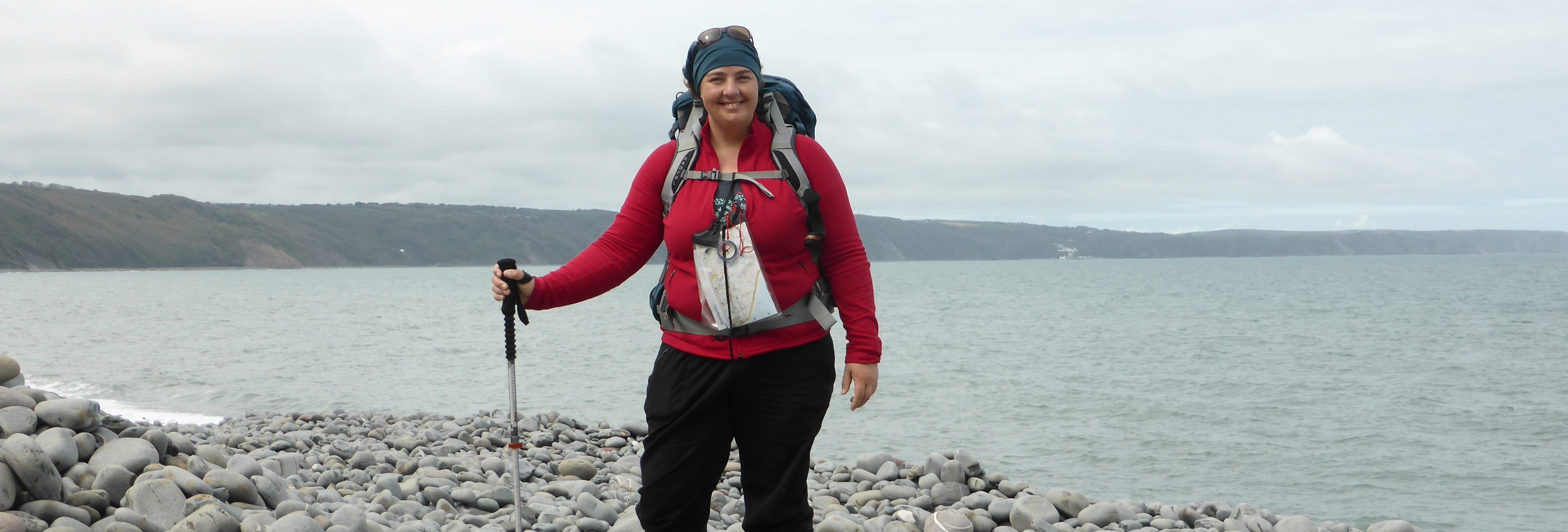
With the wind still gusting, it was a wild and woolly day, but I was determined to go the distance.
My hosts at St. George’s directed me another way back to the path, but this became a hair-raising adventure when I had to evade a group of gypsies and cross an area of disused mines. When I finally found the acorn sign post that indicates a national trail, I heaved a sigh of relief and charged ahead to Cigga Head and along the cliffs that border Perranporth airfield.


All day I was serenaded by the sounds of air-force jets and choppers, but the path itself was fairly calm. The theme of the day was definitely mining. Mostly disused, with just one at the Blue Hills Tin Streams still operating. Here was the first major down-up of the day, and I paused at the mine to appreciate the baubles they’d made from tin. Nice.
A few notable sights along the way included the most stunted pine tree I’ve ever seen, a weird crop (that I have later discovered to be cauliflower – who knew?!), and this pair of rocks out to see that marked my progress for a good 10 km.


Rounding this bit of coast I looked down and saw a seal having a brilliant time surfing the waves. Unfortunately, it was too far away to take a clear photo. This stretch is part of Porlock country. Those of you who’ve seen the series will know what I mean when they see these dark ruins…


A more recent industry is MOD. The final quarter of the day was spent tracing the grim fence-line to abandoned, and not-so-abandoned, military installations. The day looks beautiful, and it was, but the wind was still ripping in from the north-west, and the only way I could get down that seemingly-little down-up without toppling over on every step was by sitting and bumping my way down…


…which led to a grave tragedy.
The Portreath Arms hotel couldn’t come soon enough for me, or my trousers (RIP).


[Surge stats: 20.98 km, 227 floors, 35615 steps]
